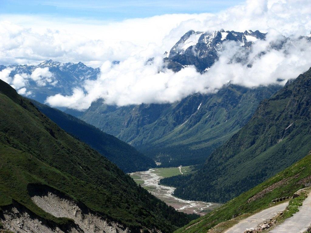
Told in the hills
Why the road stops here
North Sikkim borders the Tibet Autonomous Region of China, and much of the land above the tree line is controlled by the Indian Army. The road beyond Yume Samdong continues as a military road, which is why tourists must turn round where the public section ends. The name 'Zero Point' is a local tourism name, not an official map name.
That is also why access changes. Tourist entry to Zero Point is decided by the district administration and the army each season, and it is suspended after heavy snow, during security alerts and through much of the winter. In September 2025, when North Sikkim reopened after the monsoon closure, Lachung, Yumthang and Zero Point were the three places opened first.
Treat Zero Point as a bonus, not a goal. A clear morning at Yumthang is the core of the trip; Zero Point adds snow and height if the day allows. Planning your whole holiday around it usually ends in disappointment.
Pinned to the board
Did you know
Zero Point is roughly 2,000 m higher than Lachung, a bigger climb in one morning than most mountain medicine guides recommend.
Tourist access is commonly closed from about mid-December because of snow on the road above Yumthang.
The Zero Point charge is paid per vehicle, not per person, so a full car costs each traveller much less.